Understanding flooding
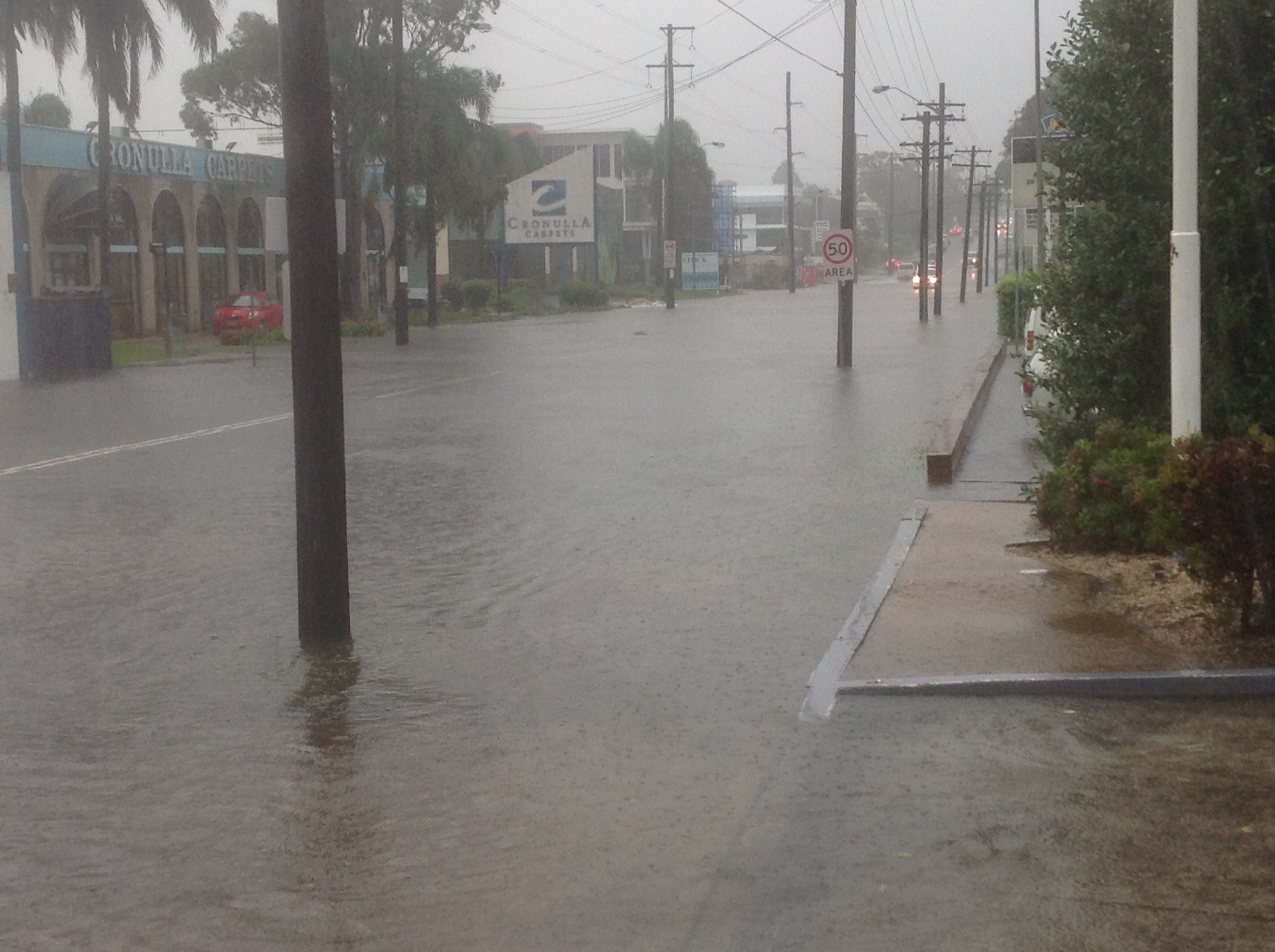
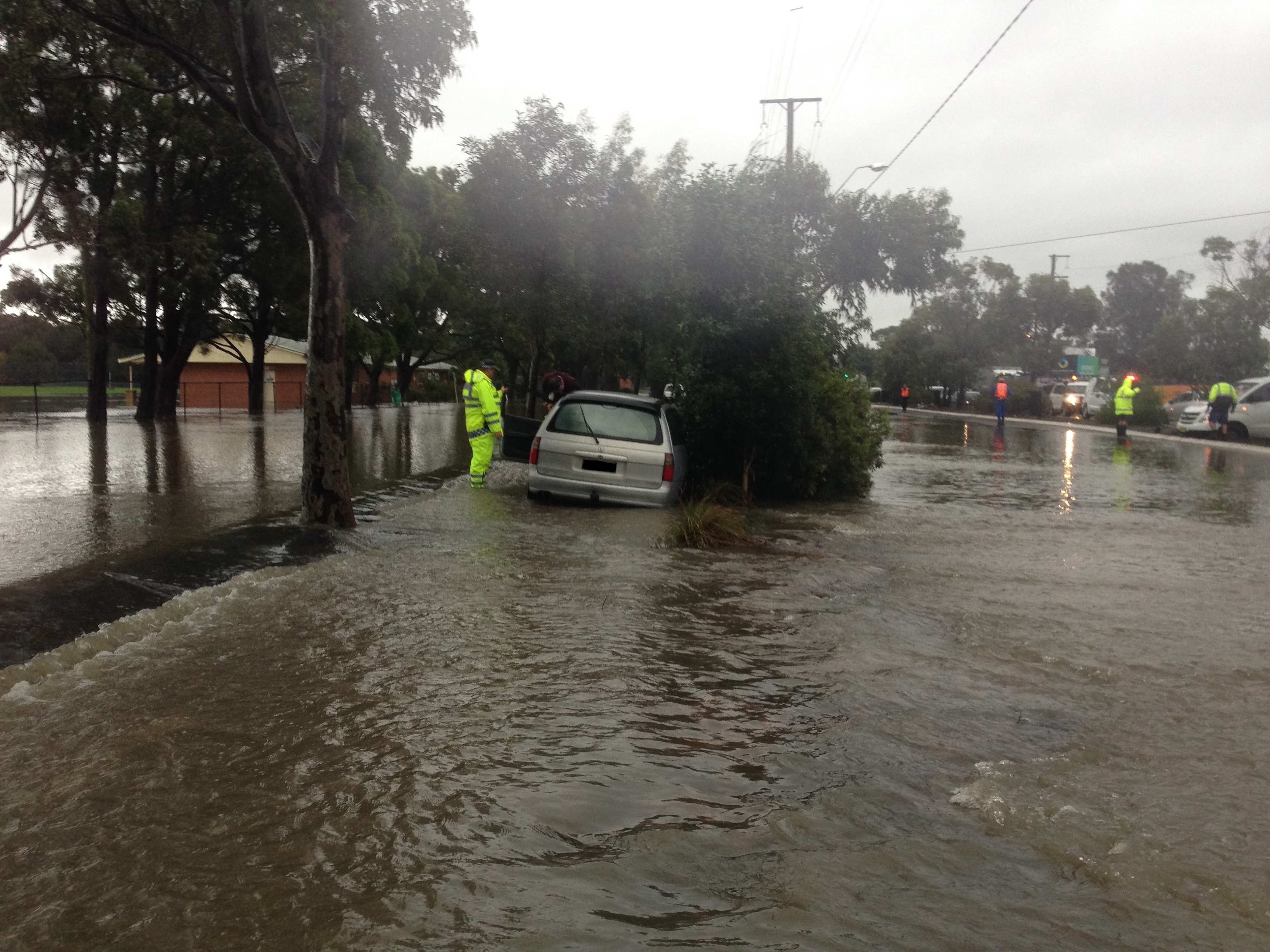
Like nearly all urban areas in Australia, Sutherland Shire has a history of flooding.
Flooding is a natural phenomenon that happens during extreme weather, when normally dry land is inundated. There are three main types of flooding in Sutherland Shire:
- Overland flooding: stormwater runoff flows overland towards a waterway.
- Riverine flooding: rising water levels in creeks and rivers overtop banks and inundate surrounding land.
- Coastal flooding: inundation of low-lying coastal areas caused by a combination of high tides, storm surge and waves.
These types of flooding can occur in isolation or in combination.
Council follows the NSW Government’s Flood Prone Land Policy as described in the 2023 Flood Risk Management Manual, to manage flood risk.
Our flood risk management program has been in operation for many years. Studies are conducted to determine the extent of flooding and management actions are then assessed, recommended and implemented.
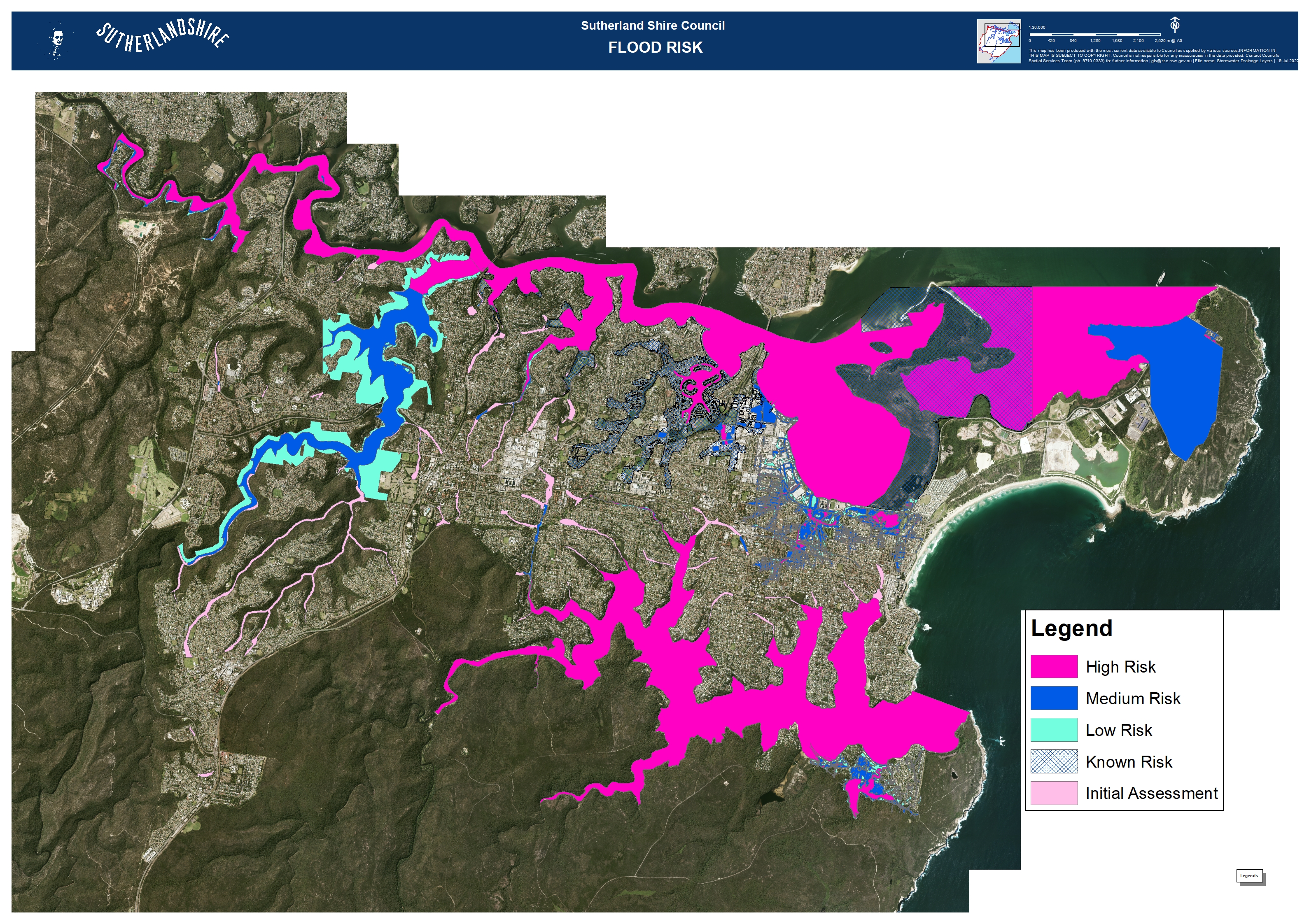
The flood risk across Sutherland Shire is illustrated on this map and is regularly updated.
Flood Risk Management Committee
Flood risk management is overseen by Council’s Flood Risk Management Committee and includes representatives from Council, NSW Government and the community. The NSW Government provides technical and financial assistance to Council under the NSW Government’s Floodplain Management Program. Council is also supported by Floodplain Management Australia.
To apply to speak at a Committee Meeting on items related to the Role of the Committee (as outlined in the Terms of Reference), please submit the Public Forum Application Form below.
Committee Minutes
Preparing for and responding to flooding
All flood-affected property owners must be prepared for flooding. Find more information from NSW SES and Insurance Council of Australia.
Find out if your property is prone to flooding with these tools:
- Flooding & Your Property FAQs
- Flood Studies and Flood Risk Management Studies and Plans: see below detailed reports describing flood behaviour and flood risk.
- Flood information sheets: contact us for flood information specific to an individual property.
- Section 10.7 Certificate: identifies whether an individual property is affected by flood-related development controls.
You can also refer to our Emergency Dashboard.
Flood Studies and Flood Risk Management Studies and Plans
Council has completed numerous Flood Studies and Flood Risk Management Studies and Plans over the decades. These are undertaken by specialist consultants using up-to-date data, flood modelling software and flood risk management practices.
The aim of a flood study is to help keep people and property in our community safe from the impact of severe, sudden rain, which causes ‘overland’ or flash flooding. During flash floods, stormwater drains fill quickly and the excess rainfall flows over land.
View all of the completed and in progress flood studies below:
Flood Studies in Progress
We have revised the Overland Flow - Flood Study (the Study) to better understand and manage the risks of overland flow paths across Sutherland Shire.
We are conducting a new Flood Risk Management Study & Plan for the Kurnell Peninsula.
We are conducting a new Flood Study for the Woronora River, focusing on risks coming directly from the river.
Once completed, this will replace the 1991 Study providing significantly improved riverine flooding information for Council and our Community.
Completed Flood Studies
Watercourses