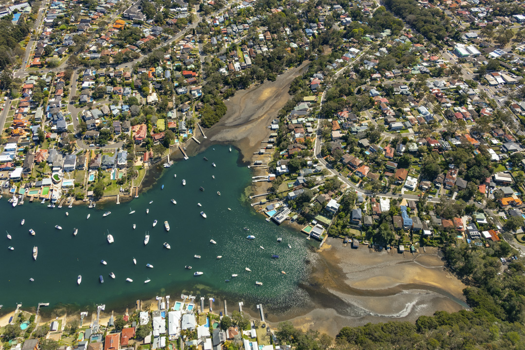
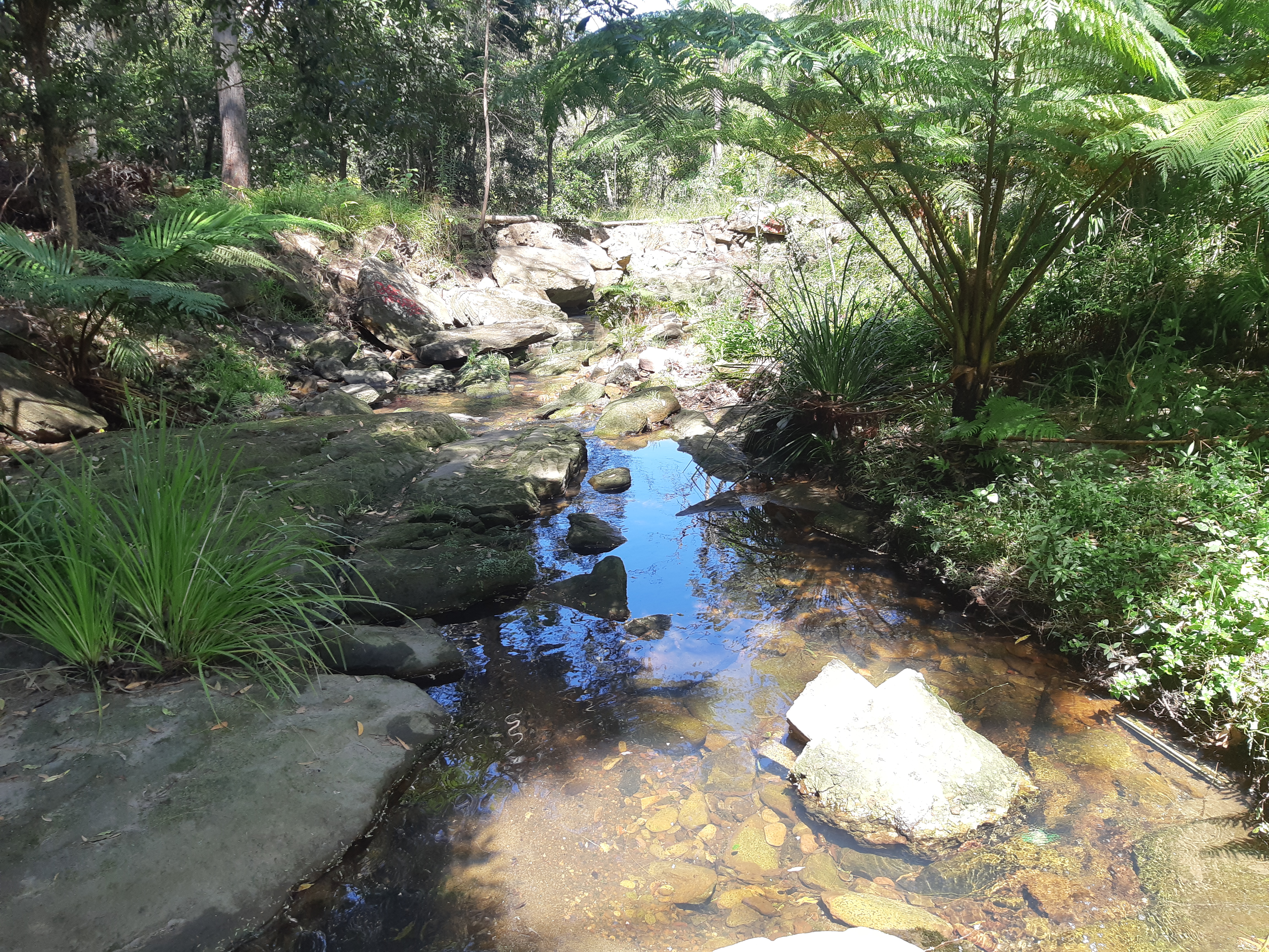
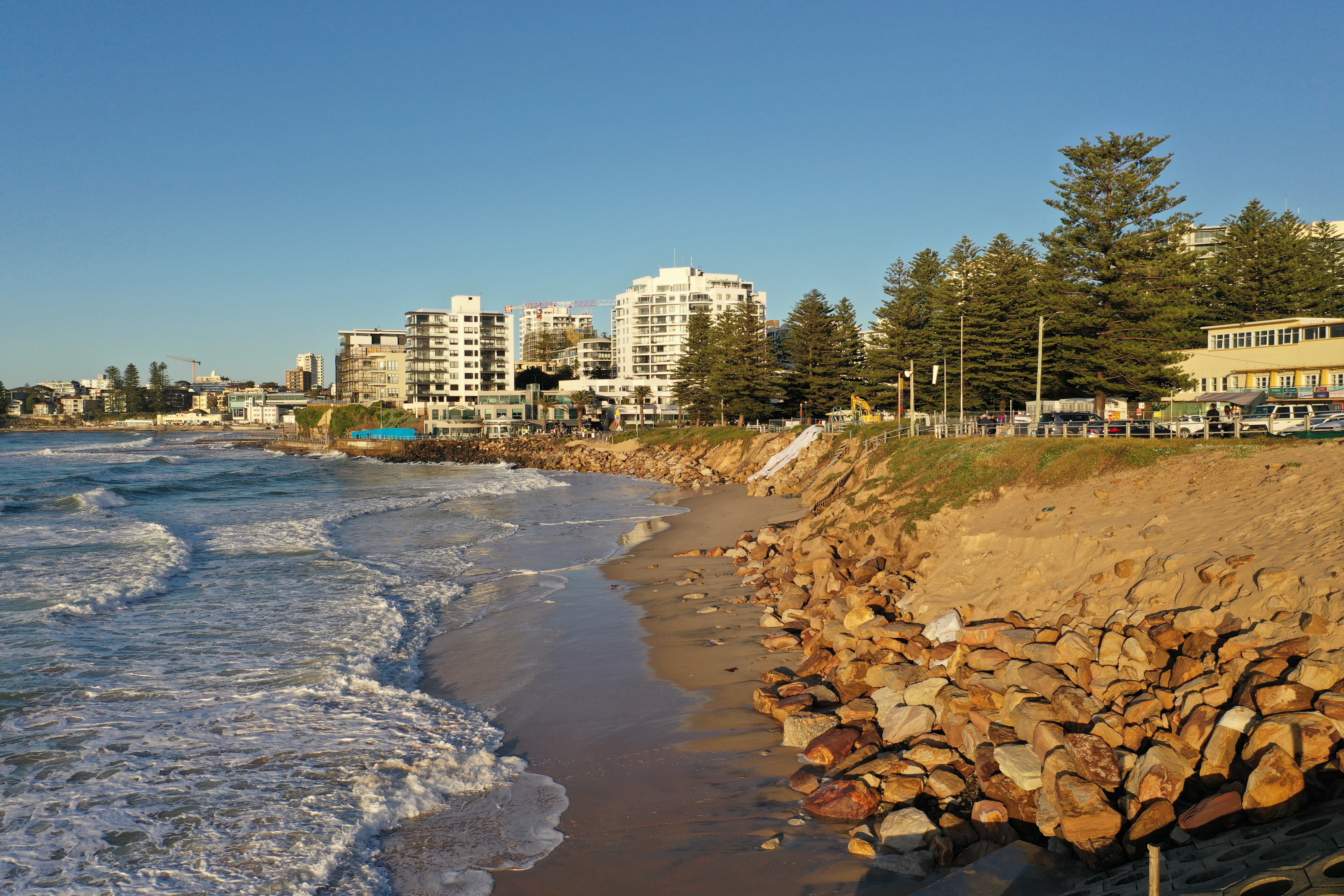
Sutherland Shire’s iconic waterways and coastlines include the surfing beaches of Bate Bay at Cronulla, the internationally recognised Towra Point wetland in Botany Bay, the protected bays of Port Hacking and numerous freshwater creeks and wetlands.
Our waterways are highly valued for their biodiversity, scenery and recreation. The health of our waterways is connected to the health of the catchment, the area of land on which rain falls and flows as stormwater runoff to a waterway.
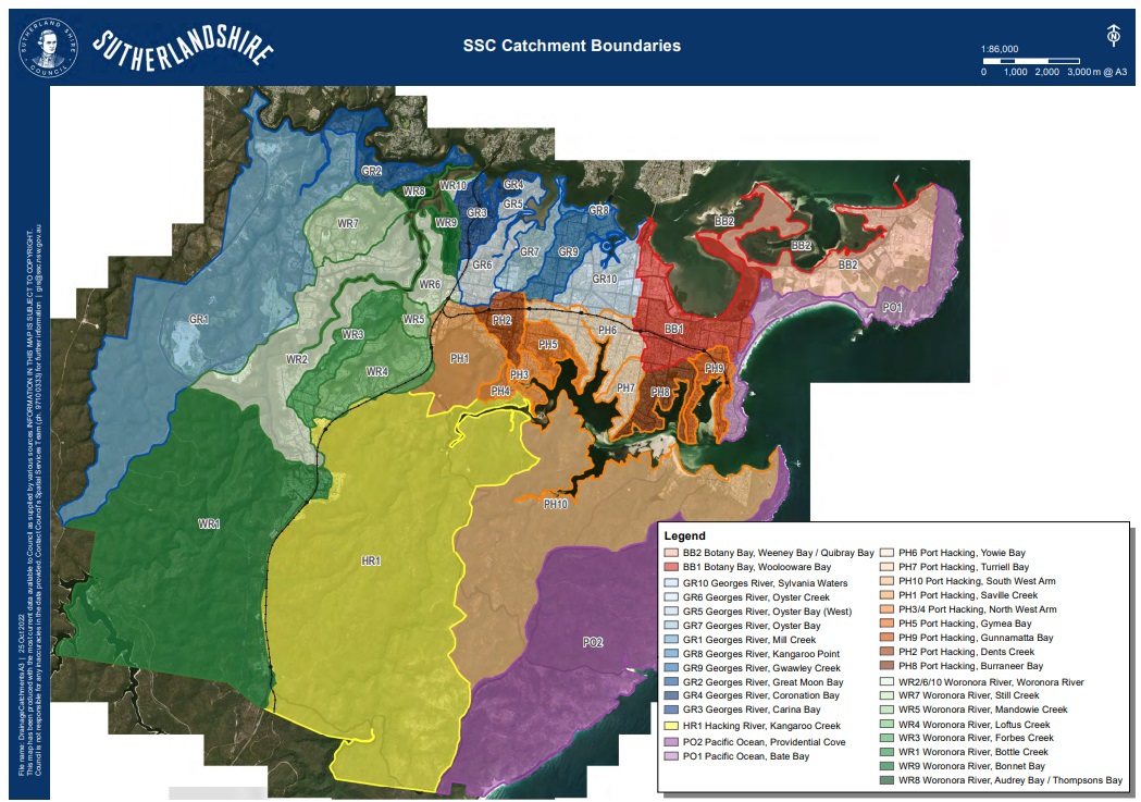
 Ewey creek catchment
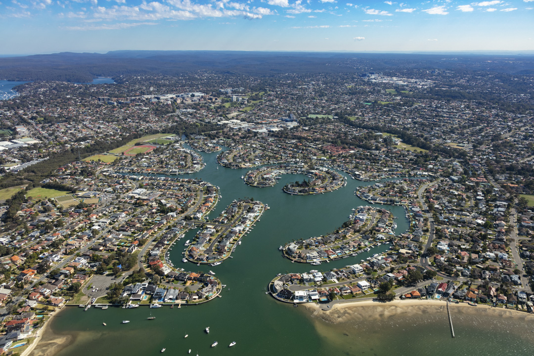 Gwawley Bay catchment
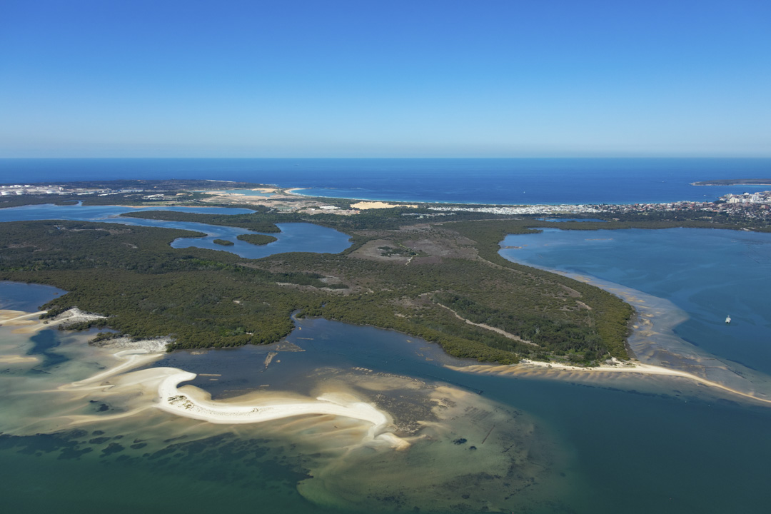 Towra Point catchment
The map shows catchments for the main waterways in Sutherland Shire.
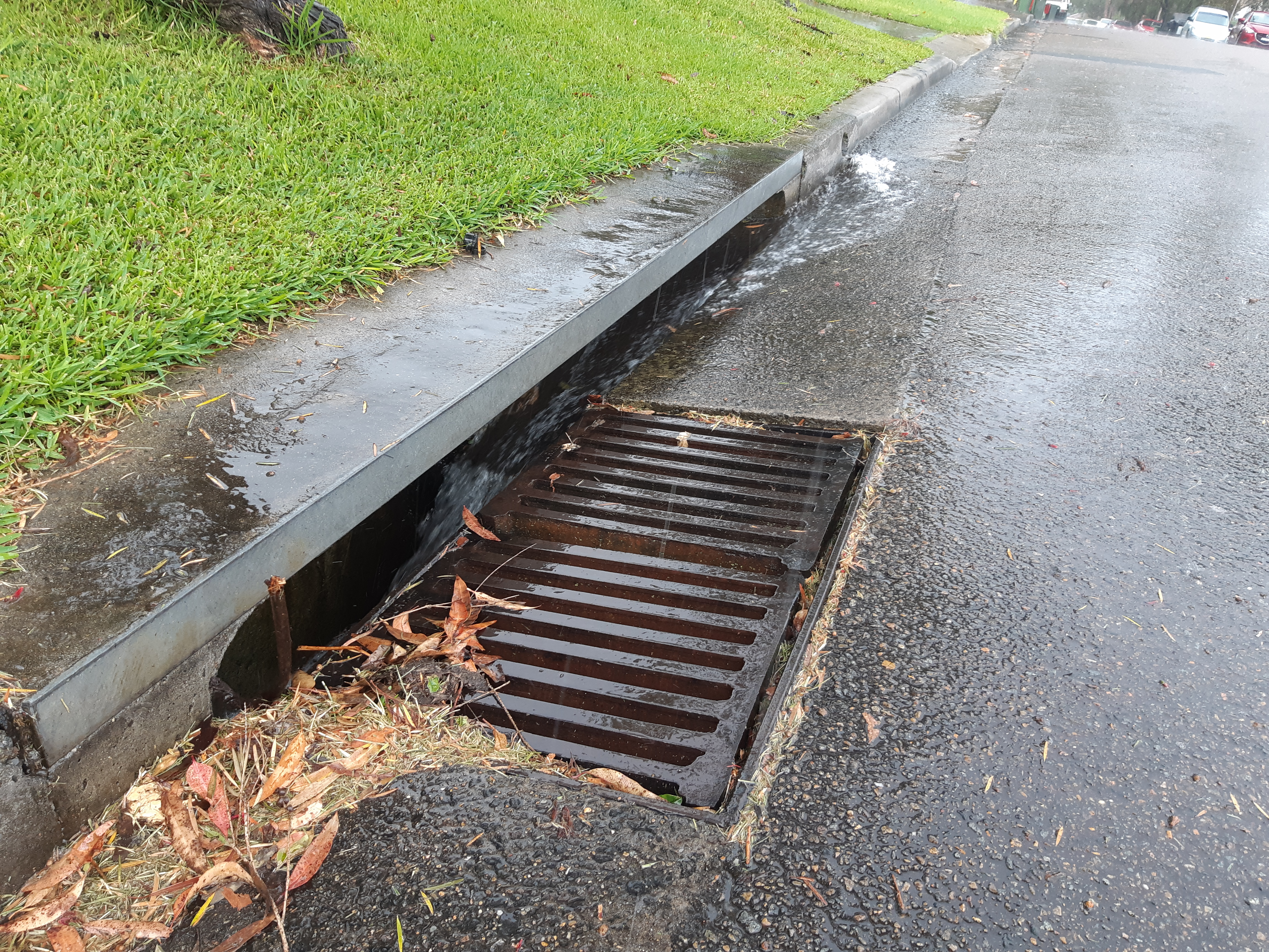
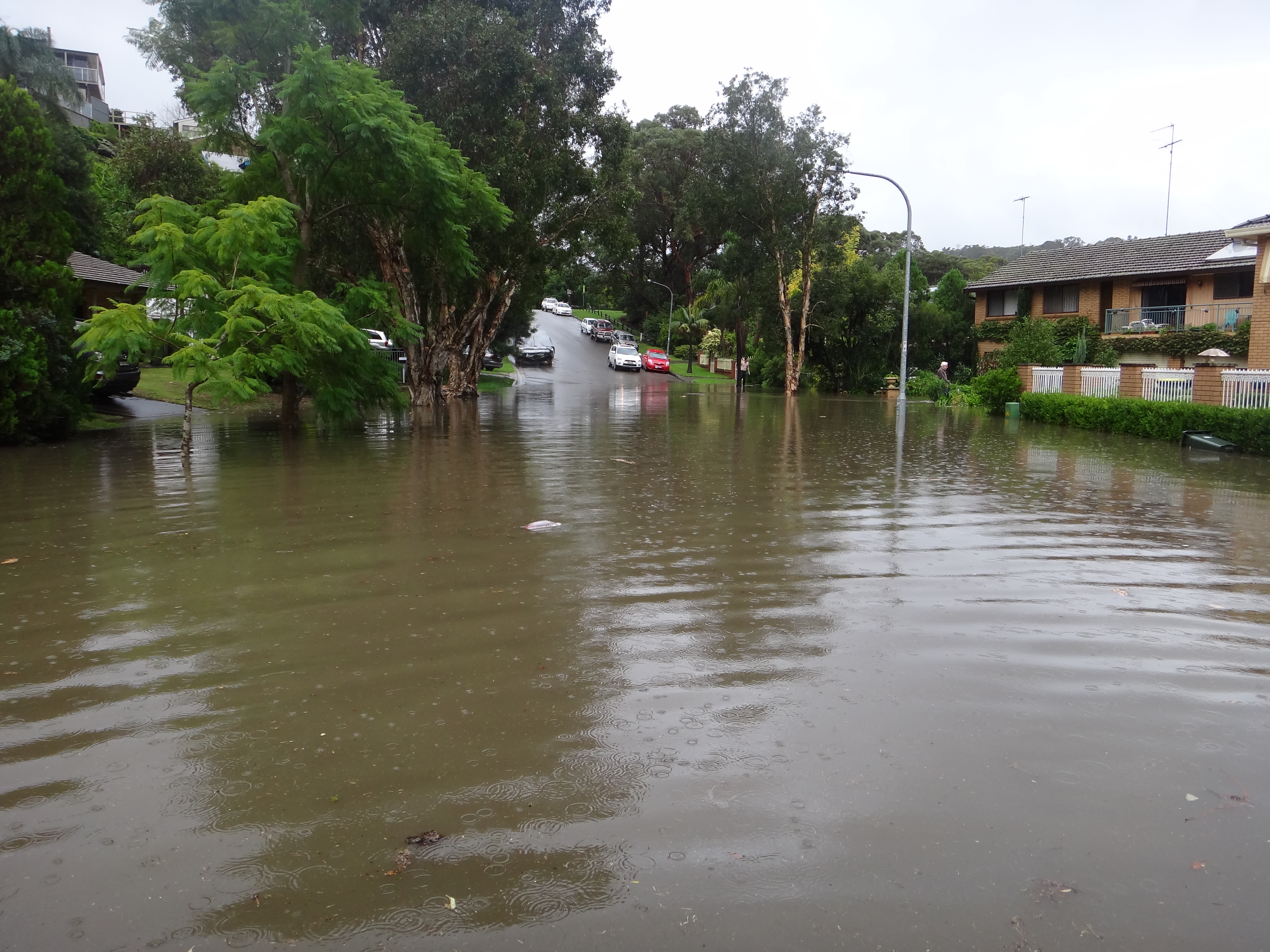
Many catchments were once completely forested. Some of these have been cleared since European settlement, which has altered the natural water cycle.
Impacts by development (that does not account for natural environmental processes) can include:
- water pollution
- flooding
- erosion
- sedimentation
- weed infestation.
Council is taking an Integrated Urban Water Management (IUWM) approach to address these issues and protect our waterways. The IUWM incorporates linked approaches to stormwater management, waterway management, floodplain risk management and coastal management.
This is an ongoing process and includes community consultation.