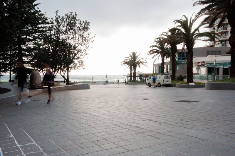
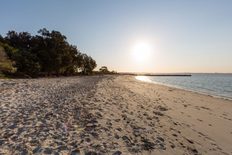
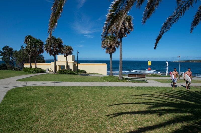
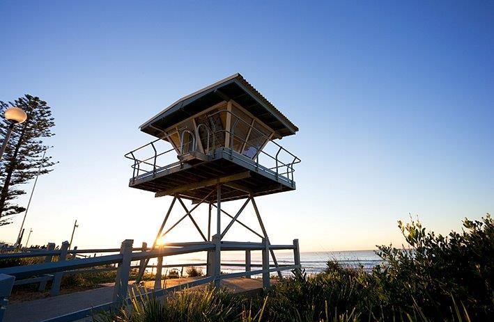
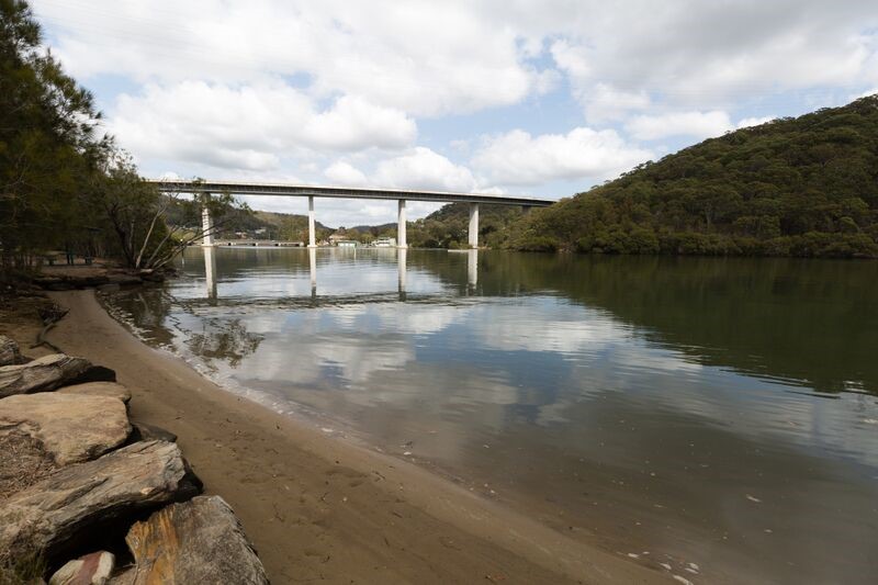
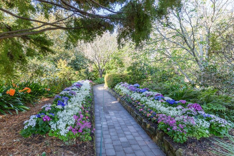
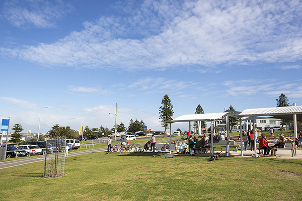
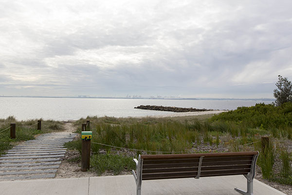
Sutherland Shire features an array of beaches, reserves, parks and sporting fields. We can recommend the most suitable location for your project.
Popular locations
Suburbs and streetscapes
Cronulla sand dunes
Cronulla sand dunes
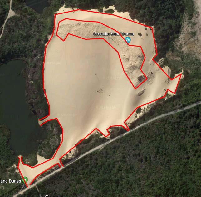
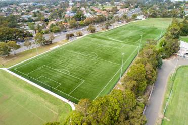
- No access is permitted within the fenced-off areas or vegetation on the perimeters of the dune as shown in the aerial image.
- No private vehicle access to Cronulla Sand Dunes. If transport to the Cronulla Sand Dunes is required, we can arrange for our lifeguards to transport you. Fees apply.
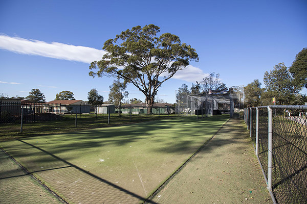
Sports fields
Applications to film on sports fields are considered along with a number of factors.
- Community sporting groups have priority access through Council’s field allocation process and subsequent hirer agreement.
- The type of filming. High-risk filming, including use of cars or machinery, may damage surfaces and infrastructure such as irrigation systems.
- The season, and whether there will be enough time for turf to recover or surfaces to be repaired before sports start.
- Whether Council has maintenance activities scheduled or if community money has been invested into the site for the purpose of sport.
The availability of natural turf sporting fields is impacted by weather. Council reserves the right to close fields as a result of weather and this may prevent the ability to carry out filming.
The filming organiser is responsible for the removal of all litter generated as a result of a shoot. This may include litter from adjoining areas. The filming location area must be left clean after the filming, if not a cleaning fee will be charged.
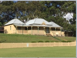
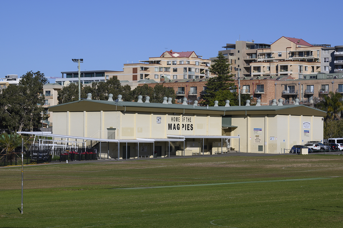
Popular sports fields filming locations
State government managed roads within Sutherland Shire
Sutherland Shire Council does not have jurisdiction over state government managed roads within Sutherland Shire. You must obtain approval from Roads and Martime Services (RMS). Allow 10 working days for the RMS to process permits for these roads:
- Princes Highway – Tom Uglys Point to Waterfall
- Kingsway - Princes Highway to Gerrale Street
- Captain Cook Drive - Taren Point Road to Gannons Road
- Taren Point Road - Captain Cook Bridge to Kingsway
- Alfords Point Road - Alfords Point Bridge to Menai Road
- Old Illawarra Road- Menai Road to New Illawarra Road
- New Illawarra Road - Old Illawarra Road to Heathcote Road
- Heathcote Road - Princes Highway to Sandy Point
- Bangor Bypass - Woronora Bridge to Old Illawarra Road
- Menai Road - Woronora Bridge to Bangor Bypass
- River Road - Linden Street to Woronora Bridge
- Linden Street – The Grand Parade to River Road
- The Grand Parade - Princes Highway to Linden Street.
State classified roads
To view all state classified roads in Sutherland Shire please visit Transport for NSW Road Network Classifications interactive map.
Road Network Classifications (nsw.gov.au)
Aboriginal/Indigenous sensitive areas
We will inform our Natural Areas Officers to ensure land is not disrupted or damaged in any way.
Crown Land
NSW Department of Planning, Industry and Environment is responsible for the management of NSW Crown Land, which includes parks, reserves, roads and cemeteries. If you wish to film on Crown Land you will need to apply for a short-term license at least two months prior to your proposed start date.
To identify jurisdiction and owners of land use, refer to Shire Maps.
NSW National Parks
To film on NSW National Parks and Wildlife Services land (for example, Cape Solander) contact Department of Planning and Environment and apply for a permit. Applications require a minimum of 7 working days.
Police
Filming on public land may need to be approved by NSW Police to discuss traffic control, user-pays police personnel and working around other activities planned in the area at the same time. Police must also be notified if the filming project involves firearms, police uniforms or any other law enforcement-related props. All replica firearms will require a permit.
