The coastal environment
The urban area of Sutherland Shire is surrounded by coastal waters, including Bate Bay, Botany Bay, the Georges River estuaries, Port Hacking and Woronora River.
NSW coastal management framework
The NSW Government's coastal management framework aims to achieve a healthy and resilient coastline.
The framework is implemented through Coastal Management Programs (CMPs), which are prepared by local councils and set long-term, coordinated and sustainable management directions.

Sutherland Shire has three CMPs:
- Bate Bay CMP: Stage 4 has been completed. Stage 5 includes beach nourishment, the upgrade of the Esplanade between Cronulla and North Cronulla beaches and the construction of a seawall at Dunningham Park.
- Georges River and Catchments CMP: CMP Stage 1 has been completed by Georges Riverkeeper, with a focus on improving the ecological health of the river.
- Port Hacking CMP: Stage 1 is set to begin and will be overseen by Council’s Port Hacking Management Sub-Committee. The CMP will focus on balancing the environment and recreation.
Bate Bay dune management
Our coast is dynamic. The beaches at Cronulla and Kurnell are continually subjected to ocean waves and storm surges, which cause short-term beach erosion and long-term beach recession.
As part of our Bate Bay CMP, we work with NSW Government’s Soil Conservation Service who act as the site manager on behalf of Council and Crown Lands focusing on coastal dune and vegetation management.
This work includes coastal rehabilitation after major weather events, including the 2022 East Coast Low.
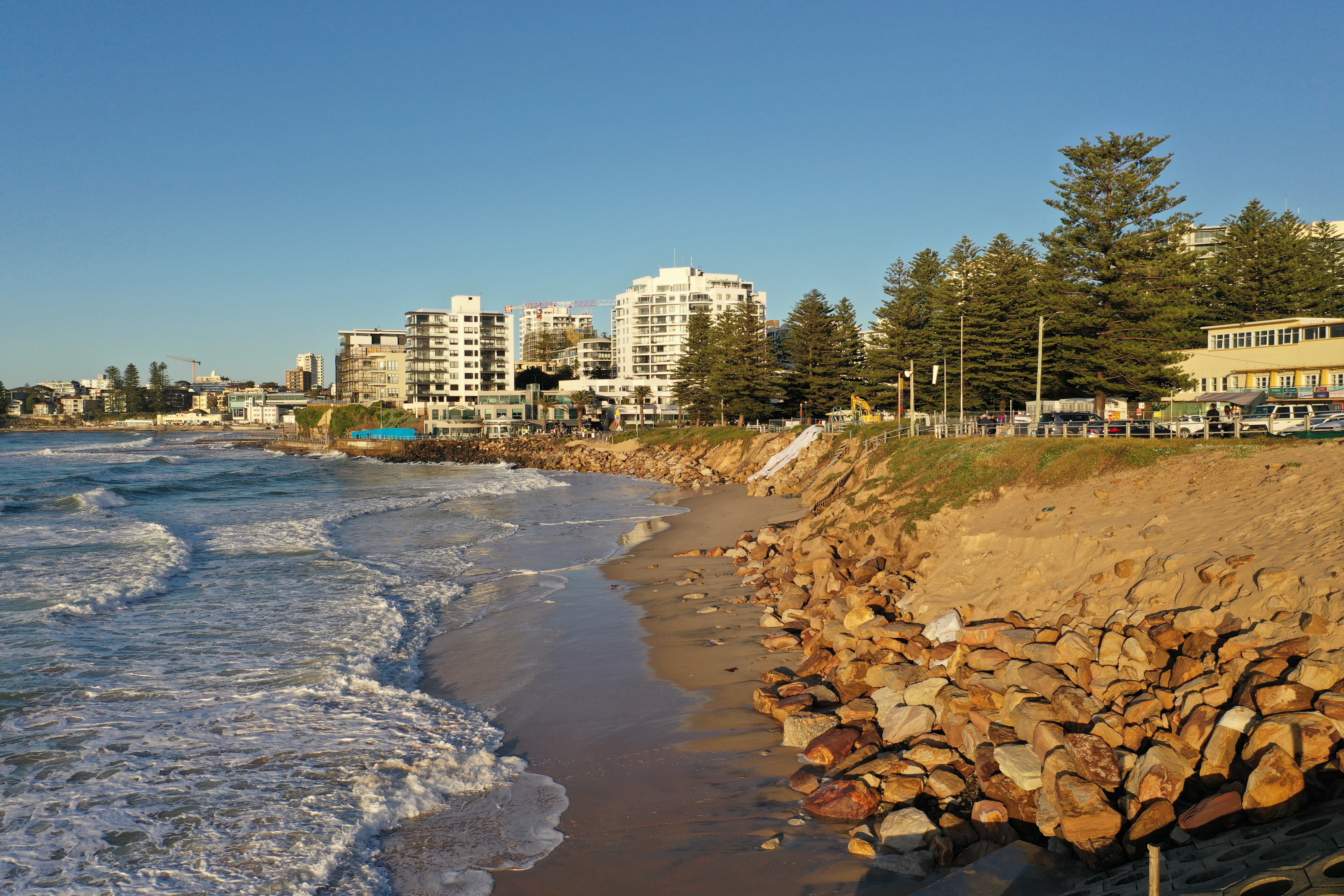 Coastal erosion at North Cronulla 2022
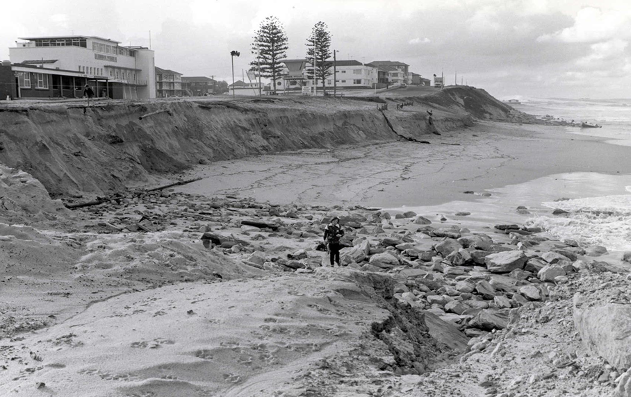 Coastal erosion at North Cronulla 1974
Planting vegetation to build up dunes, constructing and maintaining protective fences along the dune system, treating noxious weeds, sowing seed to maintain native vegetation cover, increasing the diversity of plant species and maintaining formal access ways are all part of their expertise.
The 40-year Kurnell Dune Program manages dune stabilisation which benefits our community and natural environment.
40 years of sand dune rehabilitation at Cronulla
40 years of sand dune rehabilitation at Cronulla
Estuaries
Estuaries are defined by the interplay of daily tides, ocean swells and freshwater inflows.
This constant water movement causes the continual shifting of marine sands in Port Hacking. Fine sediment from local catchments and estuaries collect at the heads of the bays in Port Hacking and in the Georges River. Fluvial flooding of the Woronora River estuary is influenced by downstream water levels in the Georges River.
Since European settlement, flat, low-lying areas at the heads of the estuarine bays have been progressively reclaimed for landfill, playing fields and urban development. These areas are subject to oceanic, hydrological, ecological and geomorphologic processes.
- Bundeena Creek Management Plan
- Ewey Creek Management Plan
- Gunnamatta Bay Contaminated Sediment Study
- Gymea Bay Estuary Management Plan
- Port Hacking Integrated Environmental Management Plan (Bibliography)
- Port Hacking - Past and Present of an Estuarine Environment
- Woronora Estuary Management Plan
- Yowie Bay Estuary Management Study & Plan
- North West Arm Coastal Zone Management Plan
Regional collaboration
Sutherland Shire Council is an active member of Georges Riverkeeper and the Sydney Coastal Councils Group. These groups advocate for improving the health and resilience of our coasts and estuaries.