
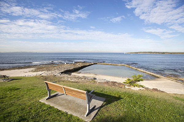
Cronulla Coastal Walkway is a 4.5 km walk also known as the Esplanade. The Cronulla Coastal Walkway links several regional parks, including Don Lucas Reserve, Dunningham Park, Cronulla Park, Shelly Park and Oak Park.

The Hungry Point Reserve cliff top walk is the exciting addition to the popular esplanade, winding along its eastern edge to the southern headland. This walkway provides sweeping ocean views and a fresh new way for pedestrians to experience the area's natural beauty.

The Como Heritage and Environment Trail is a 4.2 km circuit through the local streets and bushland of Como that highlights local features and traditional stories relating to the area’s local history.
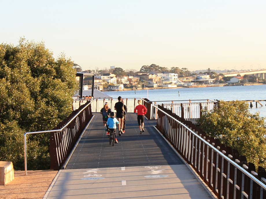
Woolooware Bay Shared Pathway is ideal for walkers, runners or cyclists who want to enjoy the natural beauty and heritage of Botany Bay.
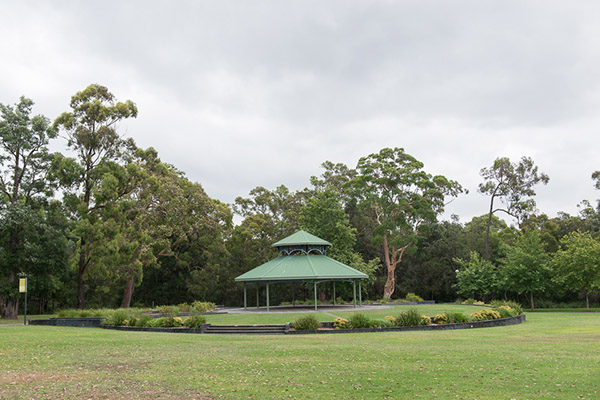
This delightful 1.5-hour walk highlights endangered ecological communities. The walk begins at Mina Road, Menai, adjoining Allison Crescent. The walk continues through Parc Menai and Forestgrove Reserve, which contains remnant Sydney Turpentine-Ironbank forest, and on to Menai Conservation Park and Hall Drive Reserve, which contain Shale/Sandstone Transition Forest. All reserves have footpaths, except Hall Drive Reserve.
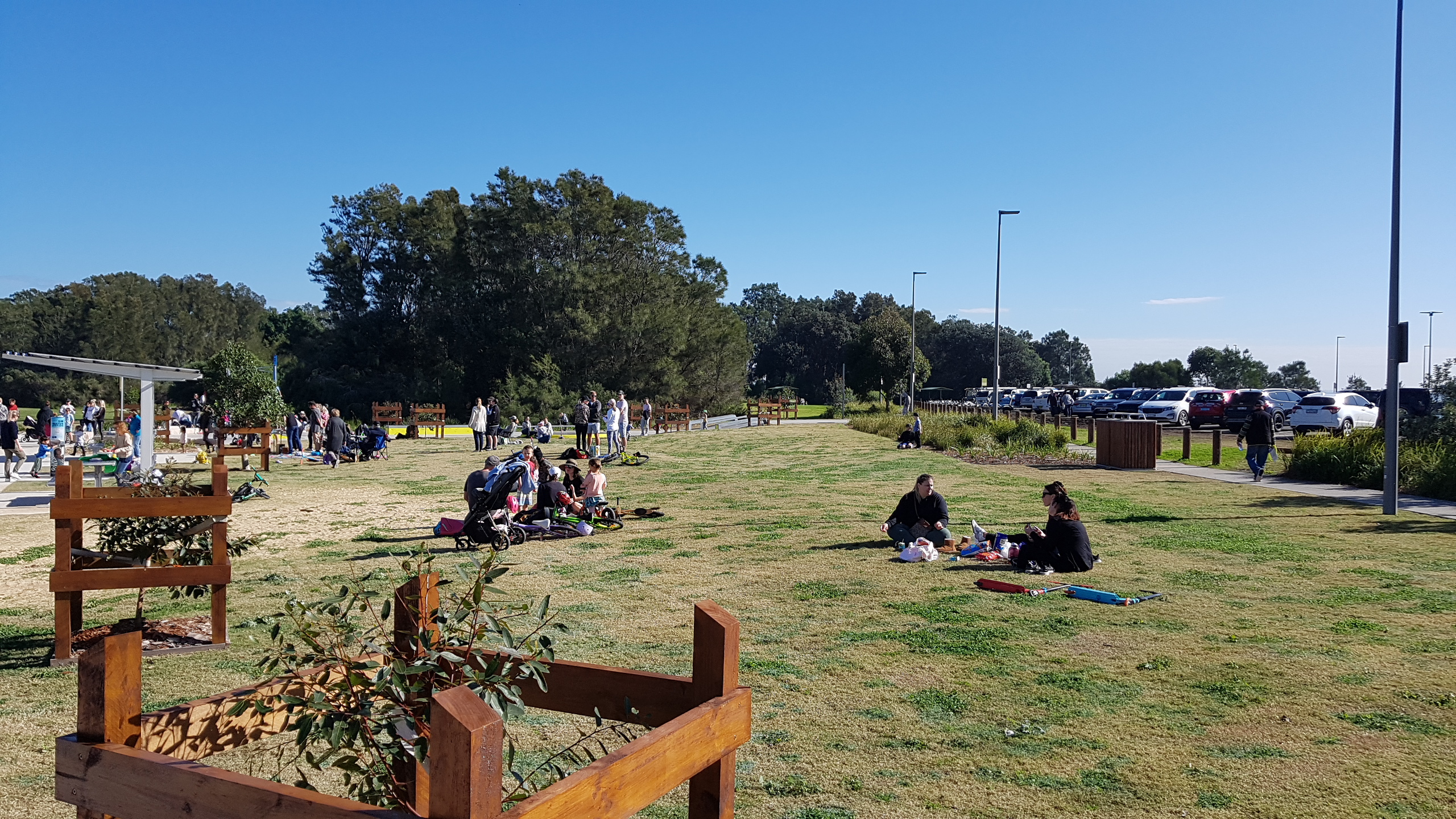
This walk features stunning views of Botany Bay along the Silver Beach Shared Pathway. It begins at Bonna Point Reserve, which boasts a state-of-the-art regional playground, and follows a pathway to the walking track in Kamay Botany Bay National Park.
Fire trails
Fire trails offer graded or paved walking surfaces through peaceful bushland. Dogs on leash are welcome, as are cyclists.
To find a fire trail, go to Shire Maps, expand the layers menu and select 'RFS Fire Trails'.
Apps
There are a number of mapping and trail apps that can be used to assist you in planning your next walk.
Useful links
- Heart Foundation Walking - walking plans, benefits of walking or join a walking group.
- Royal National Park Walks - information on a multitude of walking and hiking trails.
- Sutherland Bushwalkers - welcomes new members and runs a range of activities.
- Visit Sutherland Shire - use this site to plan your days exploring all Sutherland Shire has to offer.
- Walking Coastal Sydney - series of brochures/walking maps.