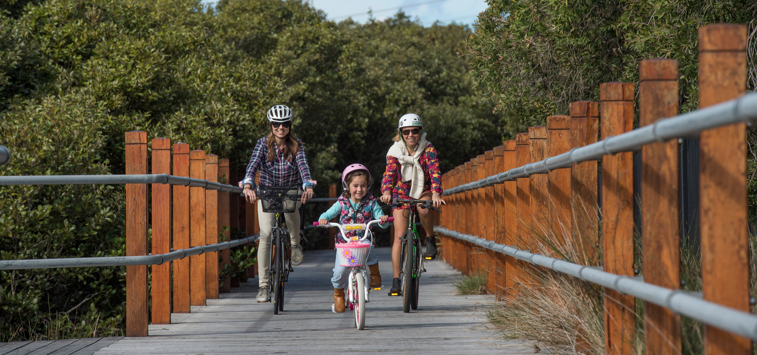
Cycling is a fun and increasingly popular way to explore Sutherland Shire. We have 27 km of dedicated shared walking and cycling paths, and we plan to build on our existing network over the next 20 years. Our cycling infrastructure will be expanded to include a network of safe, comfortable, direct, and attractive local and regional links and associated facilities.
Cycle routes at Sutherland Shire
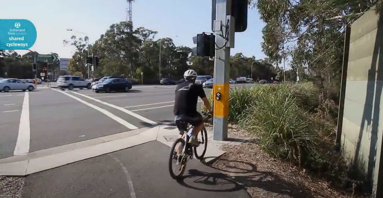
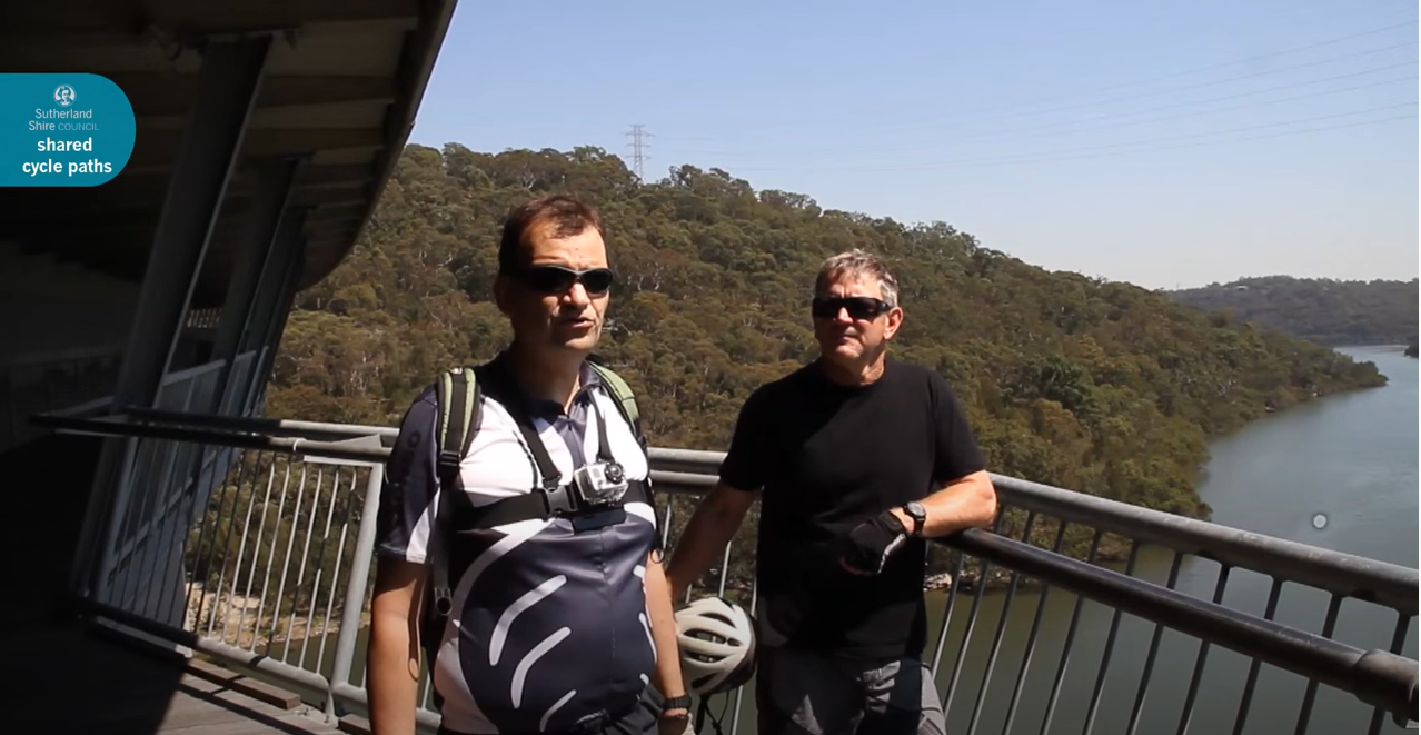
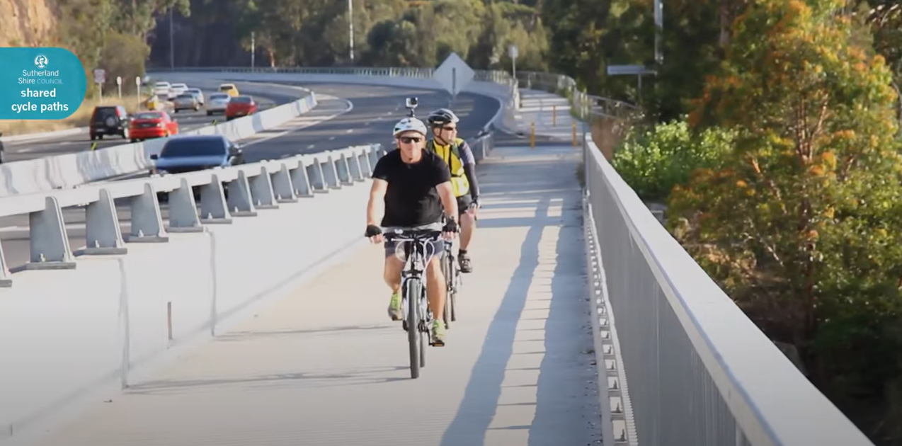
To get you started, we’ve created videos and guides for several bicycle routes around Sutherland Shire:
Cycling Network Maps
- This Sutherland Shire Bicycle Network map provides an overview of over 550kms of existing and proposed bicycle and shared paths.
- The Transport for NSW Interactive Cycleway-Finder map illustrates NSW and Sydney cycle routes by grade (low, medium, and high difficulty).
- The Cycling Visitor Guide in the Royal National Park shows the network of trails that are suitable
for bicycle access besides explaining the No Sign-No Ride policy, the Code of Conduct, and other information. - The Greater Sydney Bike Trail by BikeTrail.blog shows us 230 km around Sydney including some parts in Sutherland Shire.
Cycling Programs

The Cycling to School program encourages children to cycle to school, promoting long-term active transport use, reducing traffic congestion, and improving health, social cohesion, self-confidence, and road safety awareness. As a result, the program encourages family members to be more active.
It is an annual family event held in September and offers a five-kilometer ride from Shorebird Reserve to Don Lucas Reserve, with bike safety checks and fun events like face painting, an inflatable obstacle course, games, giveaways, and hot dogs. Registration is free, and updates on the event can be found on our Facebook page.
Useful links
- Sutherland Shire Super Sunday Bike Count Report 2023 by Bicycle Network
- Rideability Bike Maintenance Course
- Road rules for cyclists
- Sutherland Shire Road Safety Events
- Sutherland Shire Integrated Transport Strategy
- Sutherland to Cronulla Active Transport Link (SCATL)
- Sutherland Shire Active Transport Strategy 2022-2032