This site uses cookies to analyse traffic, remember your preferences, and optimise your experience. Learn more.
Find what you’re looking for
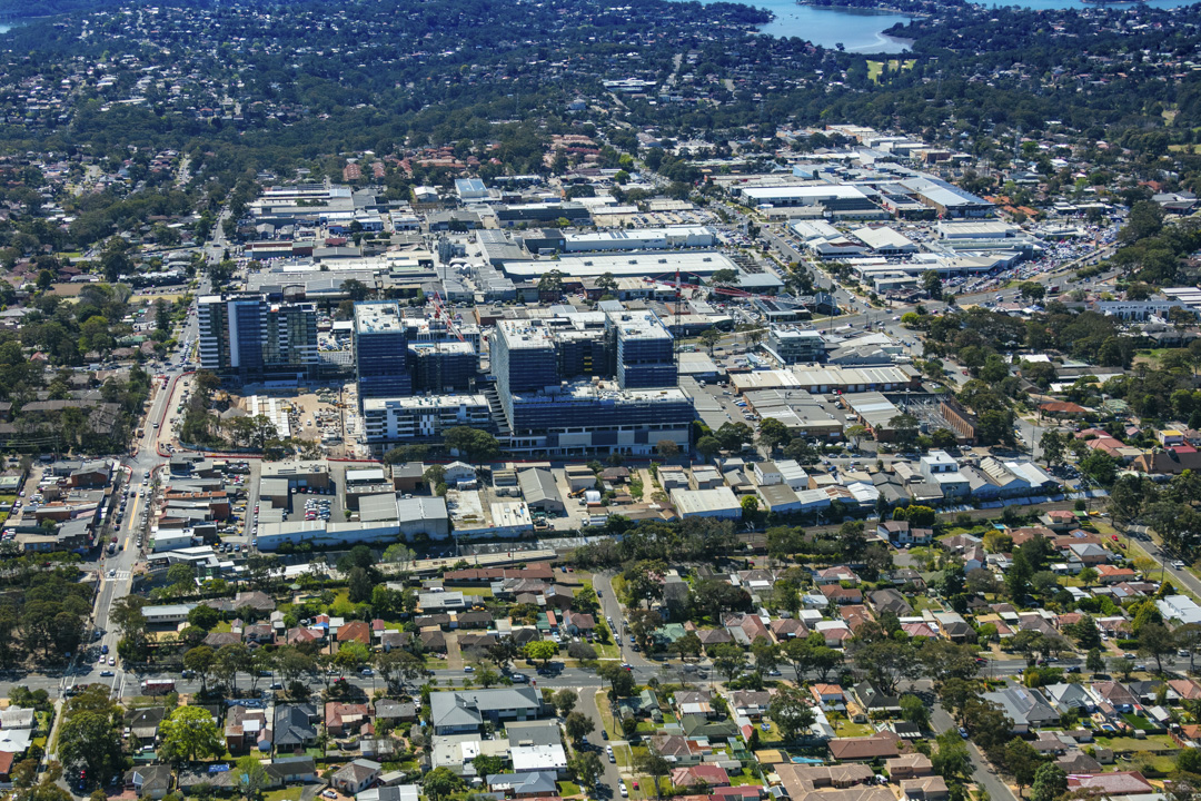
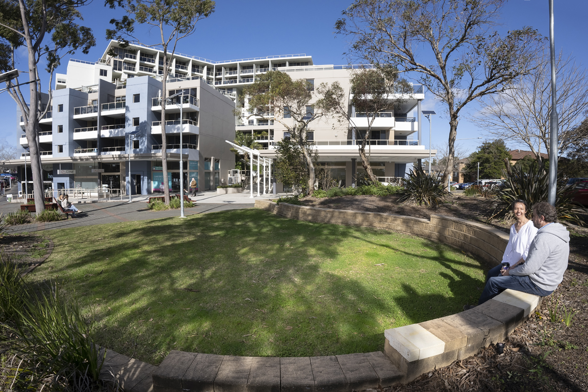
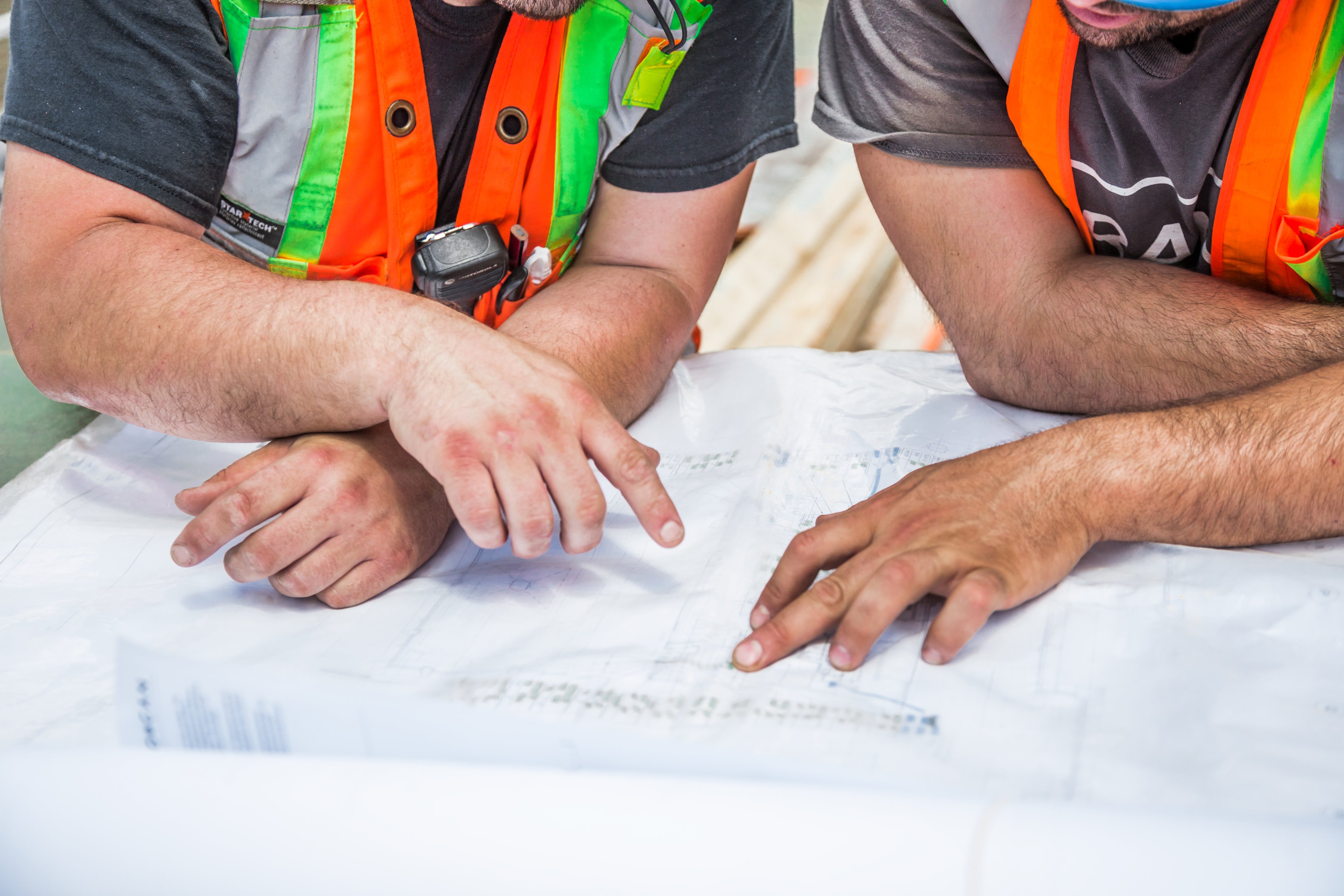
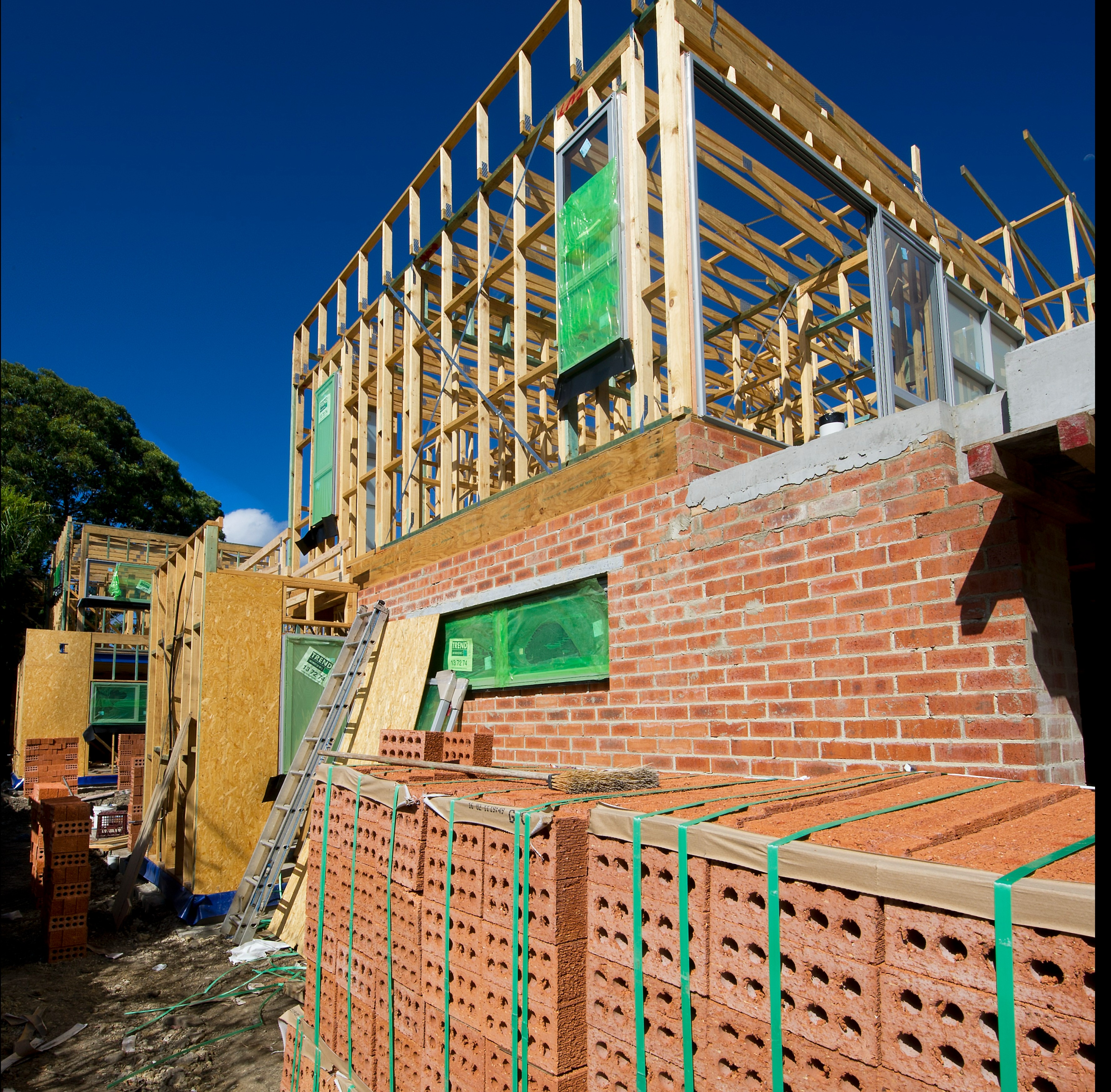
Everything you need to know about planning and building processes, and how land use and development is managed across the shire